


George’s slightly off-center view of the world
 Phil Campbell Alabama began with a nineteenth-century railroad builder. A businessman in northwest Alabama persuaded Phil Campbell to build a depot nearby, promising, if he did, to name the town after him. He did. Although Phil Campbell never lived in Phil Campbell, the town still carries his name.
Phil Campbell of New York City, aka Brooklyn Phil, organized a Phil Campbell convention. The initial gathering in 1995, brought together twenty-two Phils – and one Phyllis – for a weekend of getting to know one another and their namesake town. Most all the Phils and the townspeople had fun, but it didn’t catch on as an annual event.
Some years later, Brooklyn Phil, while perusing Wikipedia’s Phil Campbell entry, decided that in the age of social media, he would try again to gather together the Phil Campbells of the world. The event was scheduled for June 2011. A devastating tornado hit the town on April 27, killing twenty-seven residents. Instead of cancelling the convention, it became a relief project, “Phil Campbells Helping Phil Campbell.”
Phil Campbells came from around the country, Australia, Scotland and England, 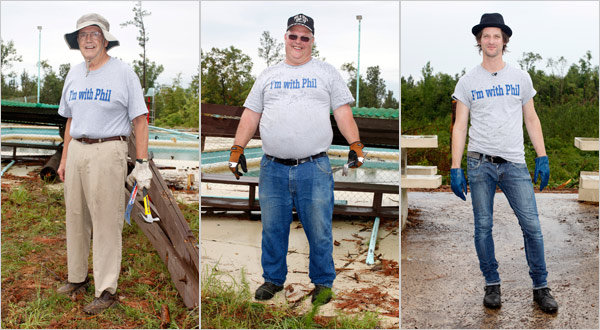 too. They spent several days clearing and cleaning up the wreckage of the pavilion and swimming pool where the first convention took place in 1995. They also raised $42,000, enough money to fund construction of a Habitat for Humanity house
If your name is Phil Campbell, you might want to mark your calendar for 2021, when the next gathering is scheduled. In the meantime, you can watch the documentary film about the Phils, people and town, that was released in 2014.
 Highway 99 traverses the Pacific Coast from the Canadian border, at Blaine Washington, to Mexico, at Calexico California. Upon completion of Interstate 5 in 1972, 99 lost its designation as a “U.S.” highway. Much of it is now labeled State Route 99 in California, Oregon Route 99 – splits into 99E and 99W from Junction City, near Eugene, to Portland – and SR-99 in Washington. (It continues as Highway 99 in British Columbia.)
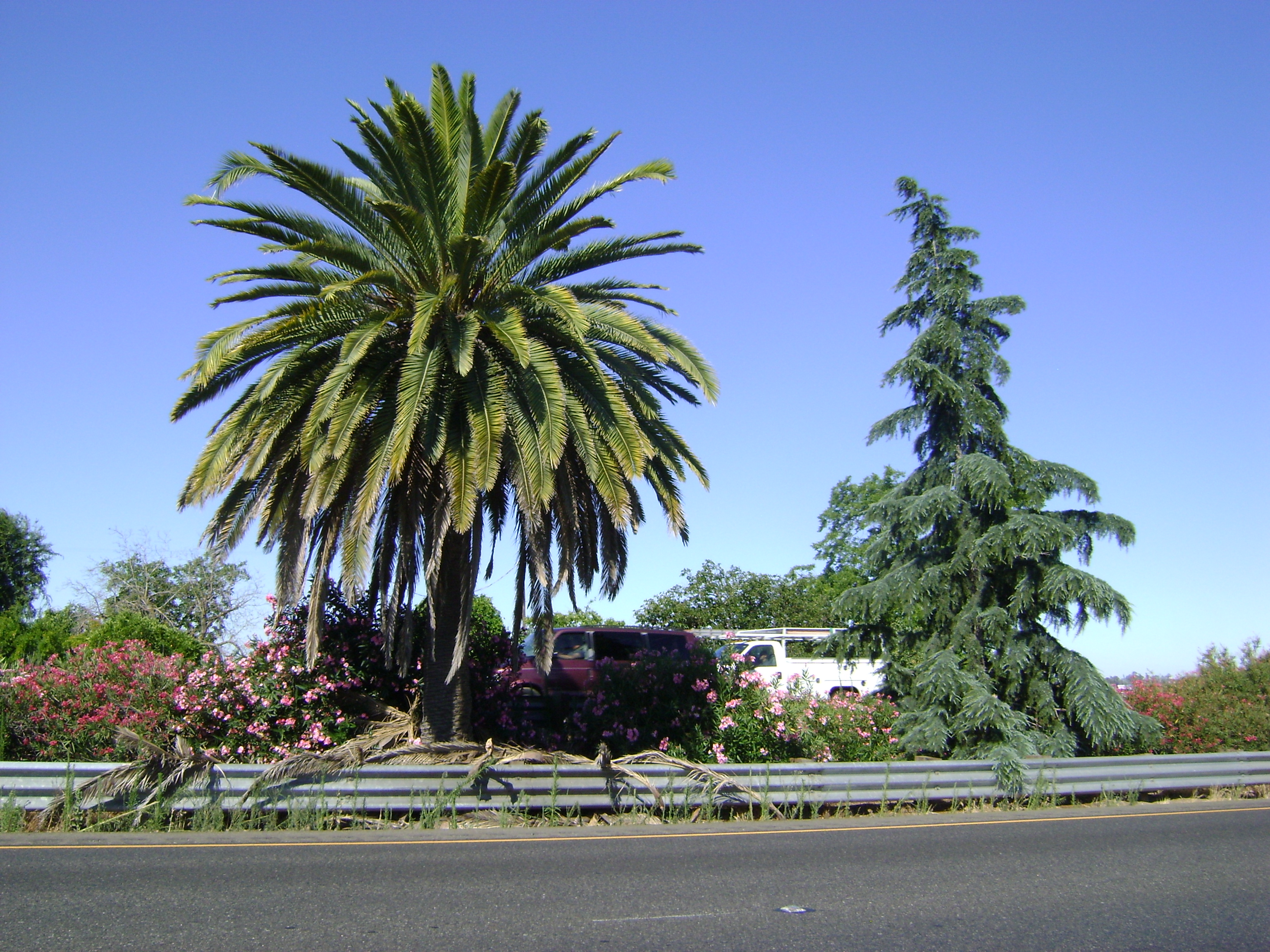
With decertification came loss of identifying signage. There never really was any definitive identifier informing a motorist when crossing the unofficial border between northern and southern California. As you travel the highway, keep an eye out for the pine tree and palm tree adjacent to each other in the median between northbound and southbound lanes. It’s a few miles north of Fresno, at about milepost 150. The fir represents the northern sector of the state; the palm tells you are in southern California. Your GPS won’t tell you this.
If you feel the urge to travel historic 99, you’ll want That Ribbon of Highway guidebooks.

“They were all impressed with your Halston dress
And the people that you knew at Elaine’s”
– Billy Joel, “Big Shot“
They’re pretty good, but the best hamburgers actually are at the Nob Hill Bar & Grill in Portland Oregon. Really. But no Chinese food at Nob Hill.


