 Highway 99 traverses the Pacific Coast from the Canadian border, at Blaine Washington, to Mexico, at Calexico California. Upon completion of Interstate 5 in 1972, 99 lost its designation as a “U.S.” highway. Much of it is now labeled State Route 99 in California, Oregon Route 99 – splits into 99E and 99W from Junction City, near Eugene, to Portland – and SR-99 in Washington. (It continues as Highway 99 in British Columbia.)
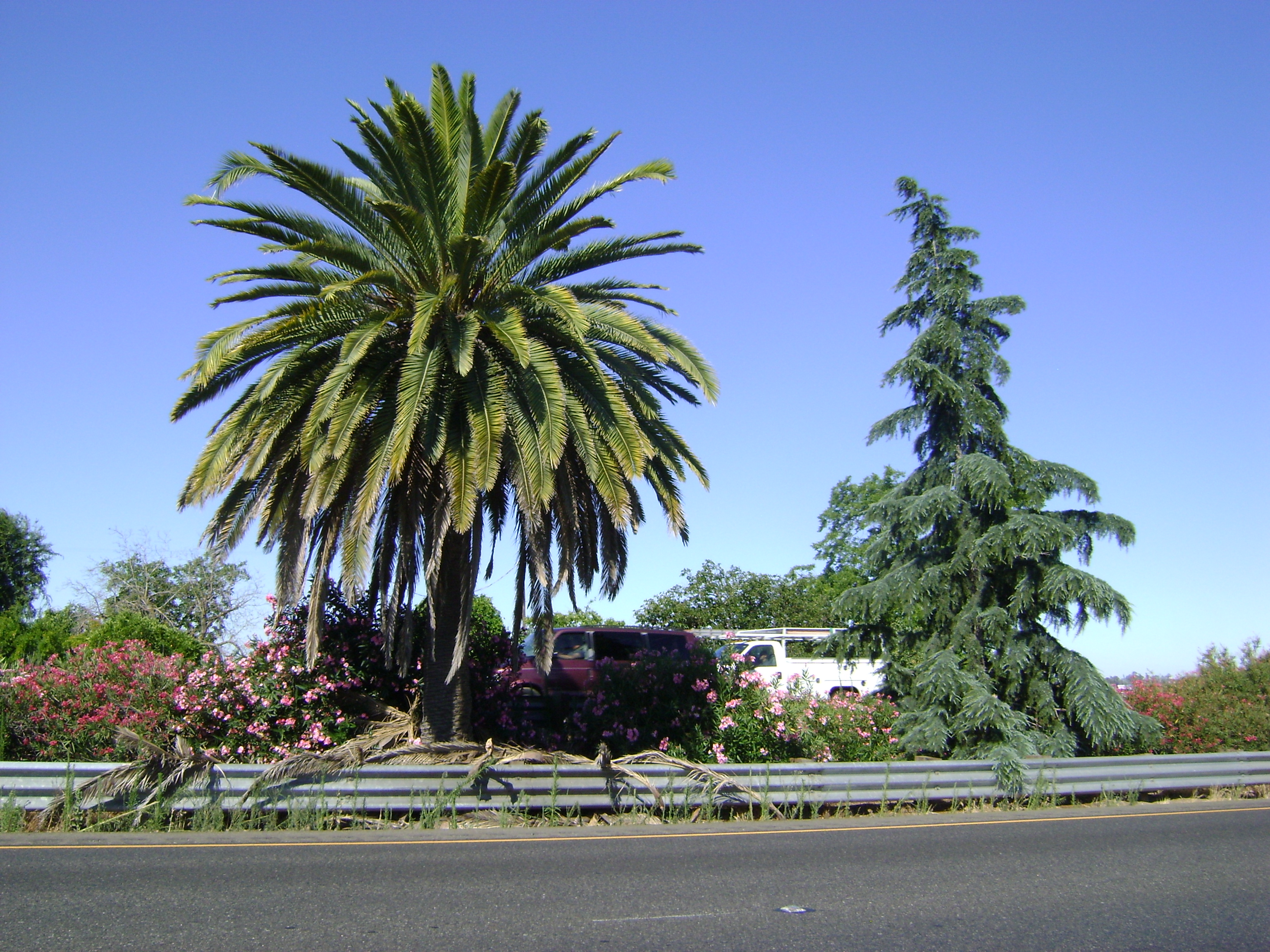
With decertification came loss of identifying signage. There never really was any definitive identifier informing a motorist when crossing the unofficial border between northern and southern California. As you travel the highway, keep an eye out for the pine tree and palm tree adjacent to each other in the median between northbound and southbound lanes. It’s a few miles north of Fresno, at about milepost 150. The fir represents the northern sector of the state; the palm tells you are in southern California. Your GPS won’t tell you this.
If you feel the urge to travel historic 99, you’ll want That Ribbon of Highway guidebooks.
In our frequent road travels between Portland and Fresno, it’s always fun to find this spot. Thanks!